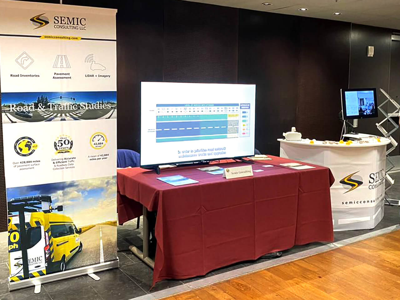


Delivering
Accurate & Effcient
Traffic
Data Collection Services

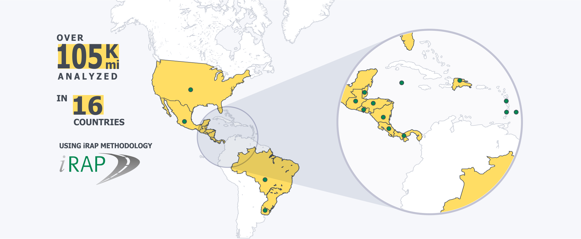
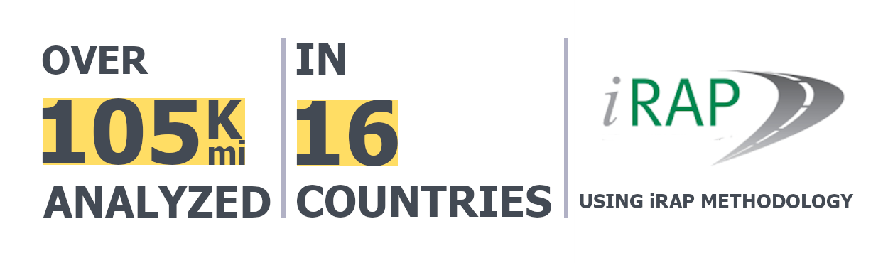
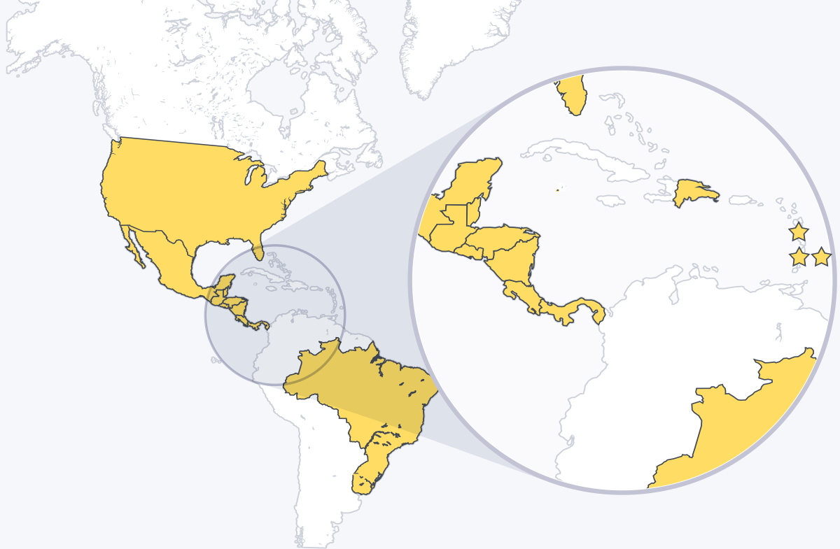
Over 105,000 miles of
road analyzed for
road
safety in 16 Countries

Over 245,000 miles of
pavement surface
condition
assessment
10 times the
Earth Circumference!

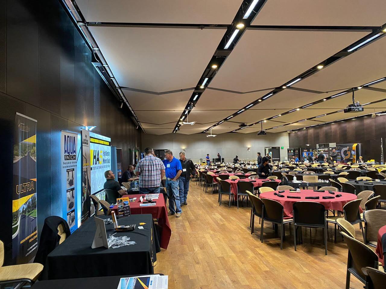
Our vast experience on Road Data Collection will make the difference on the quality and accuracy of the data.

Road Inventories
(signs, barriers, right of way)

Pavement Assessment

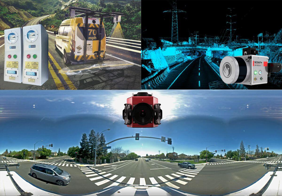
LIDAR + Imagery

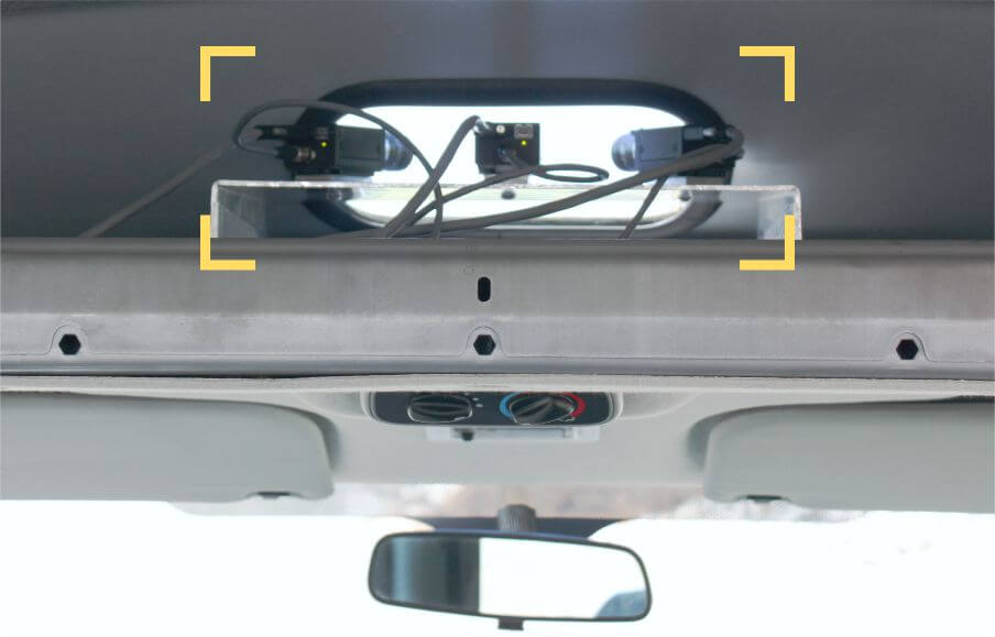
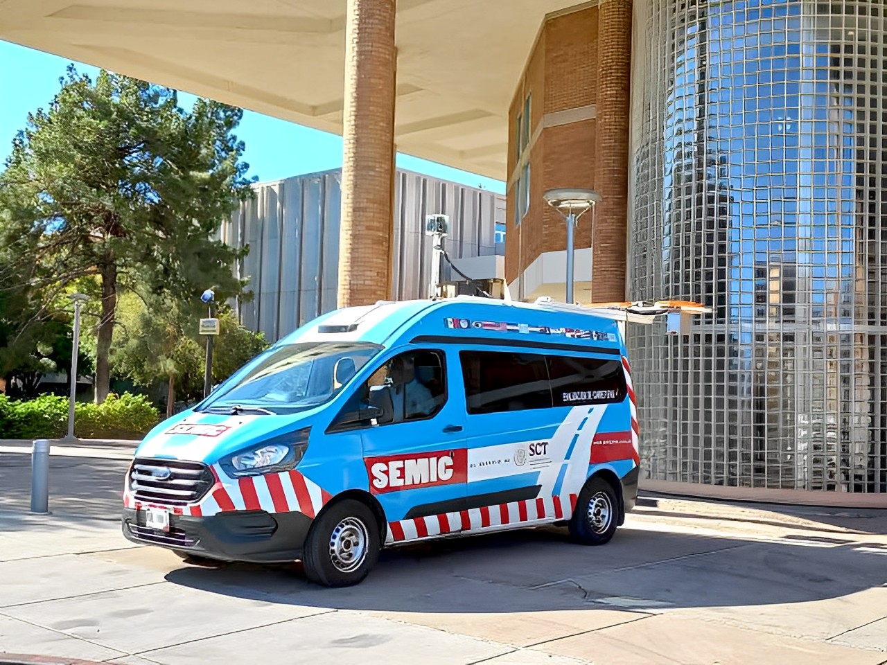
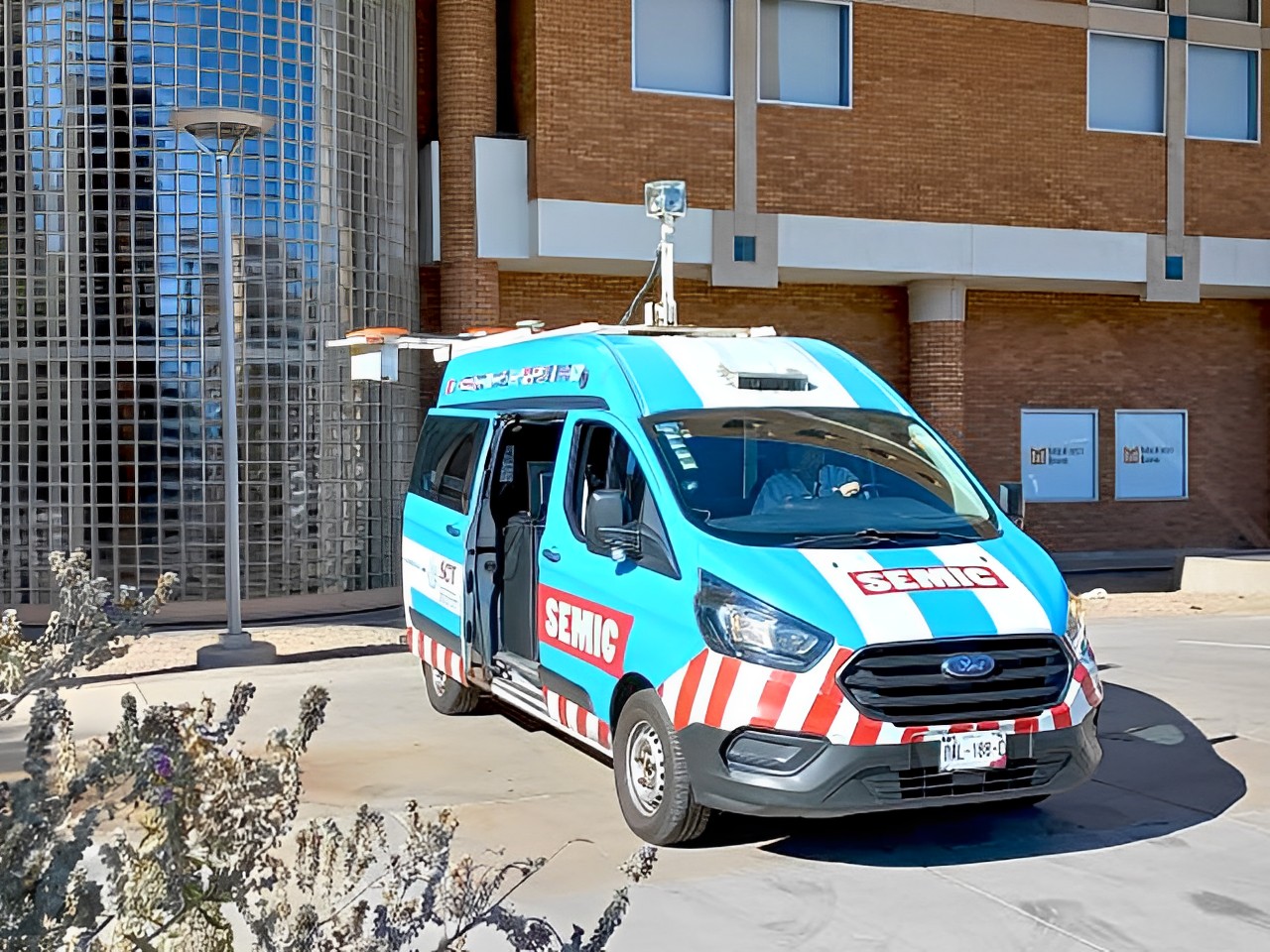
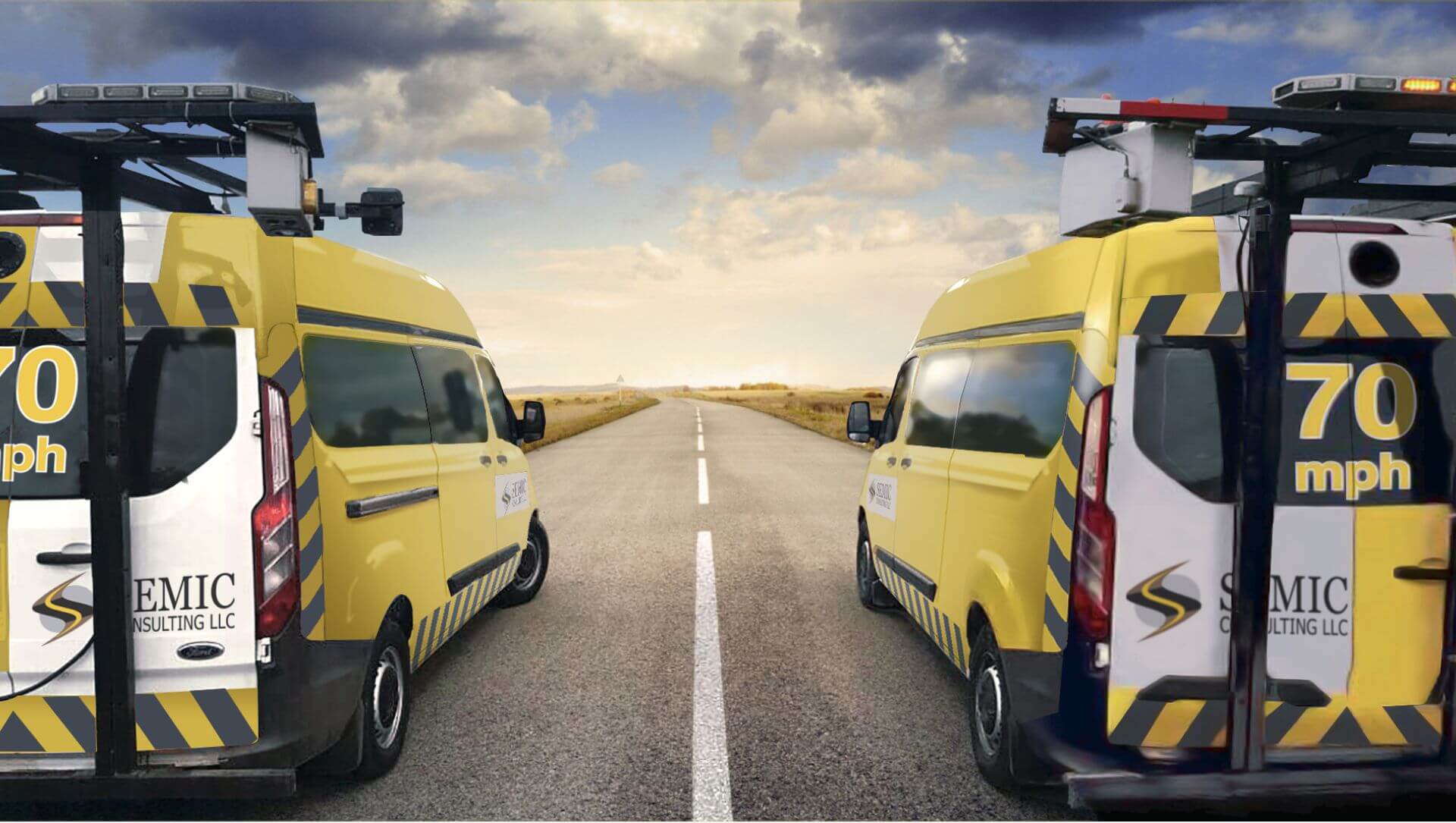
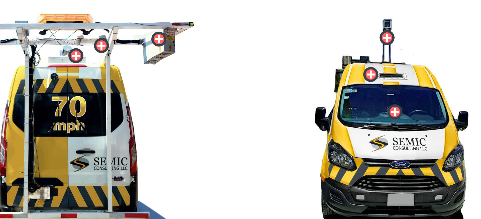
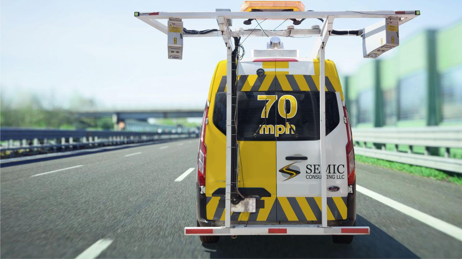
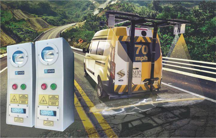
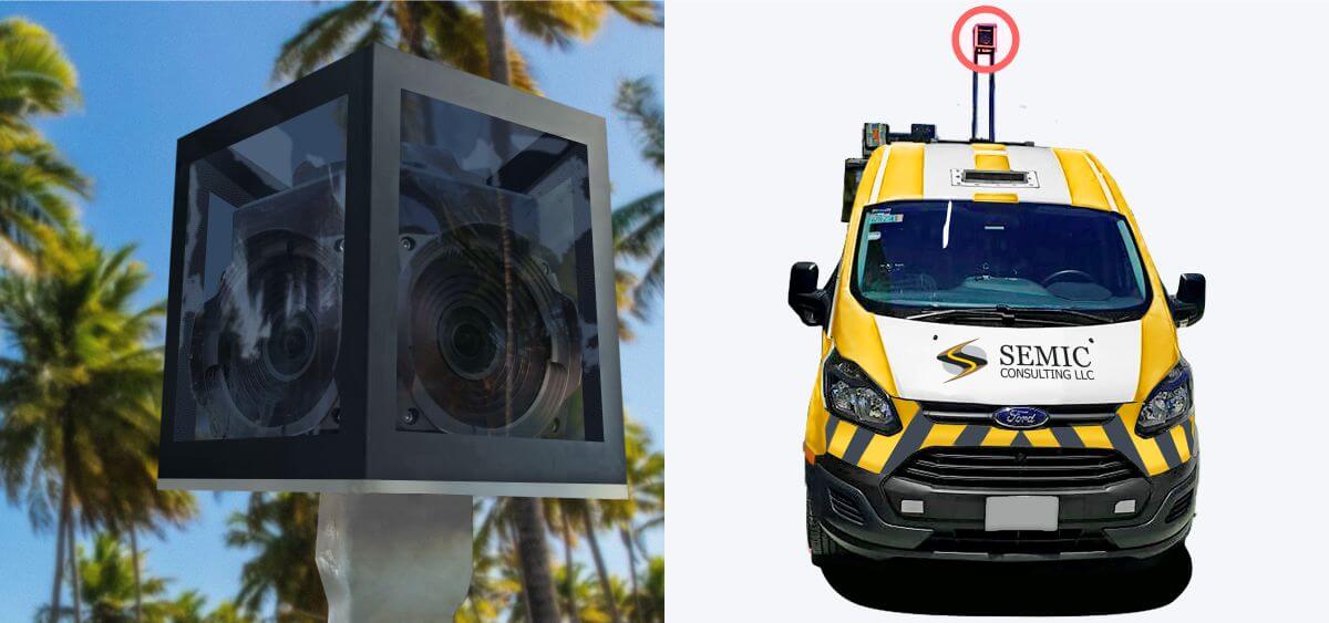
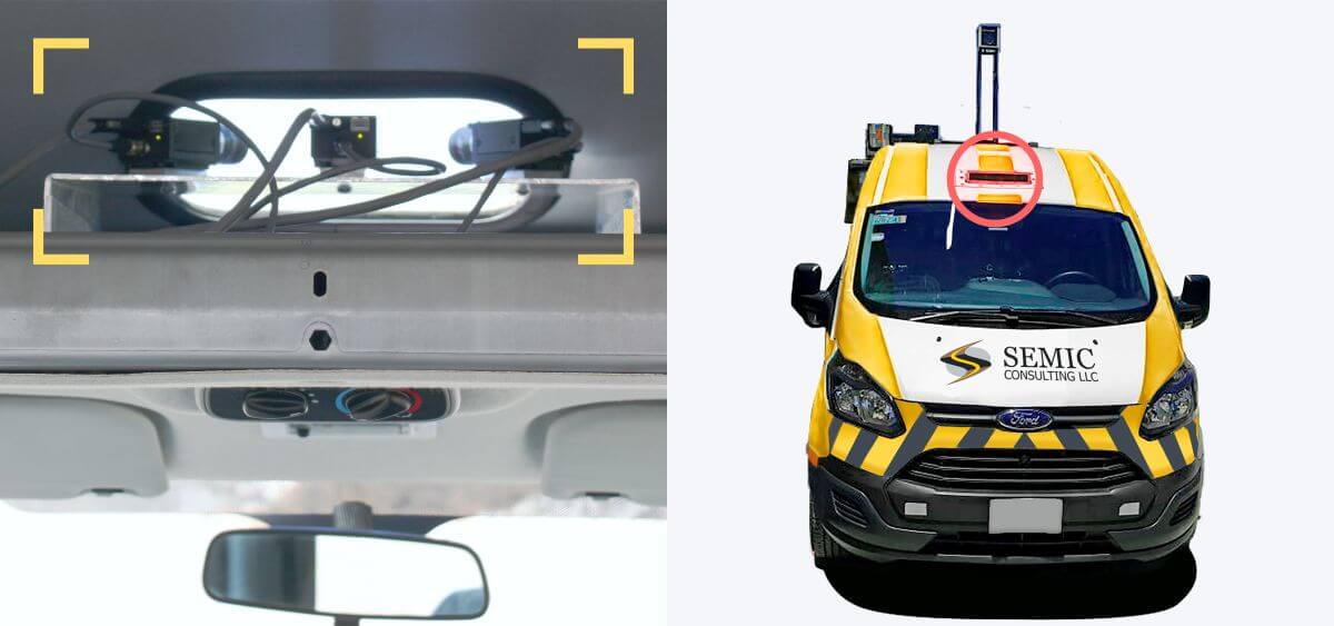
Data Collection Vehicle
A high-performance vehicle which performs a data collection survey while traveling at operational speed, collecting not only images of the road but also the surrounding elements, their features and their location.
Data Collection Vehicle
A high-performance vehicle which performs a data collection survey while traveling at operational speed, collecting not only images of the road but also the surrounding elements, their features and their location.
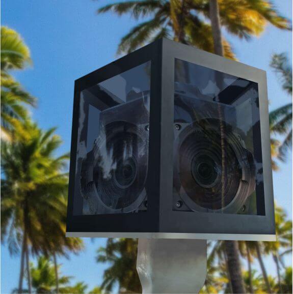
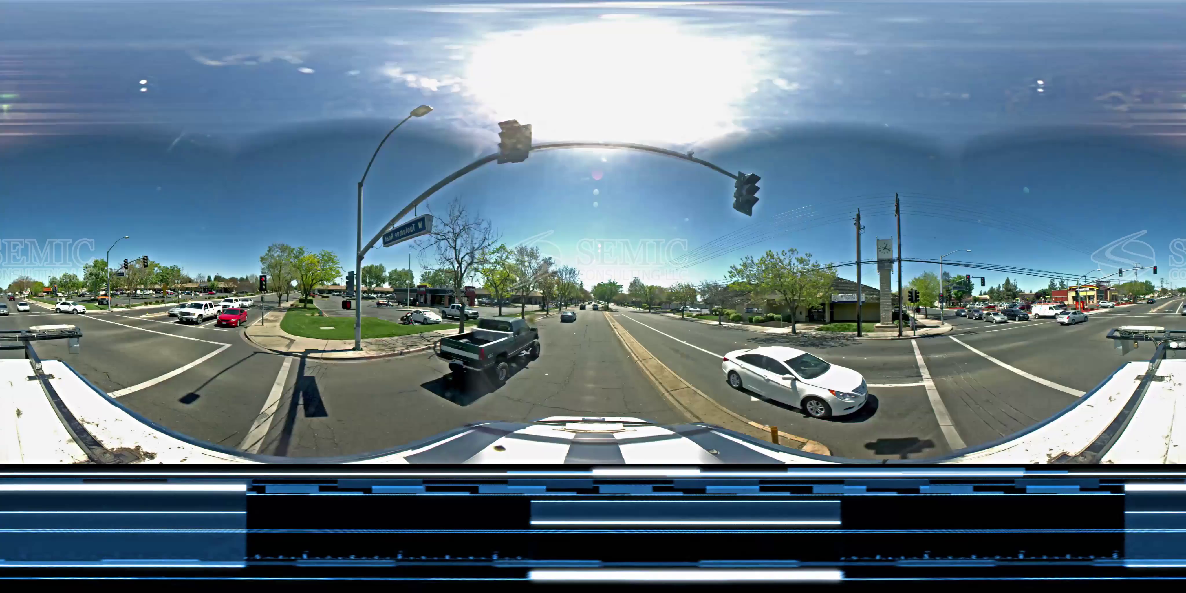
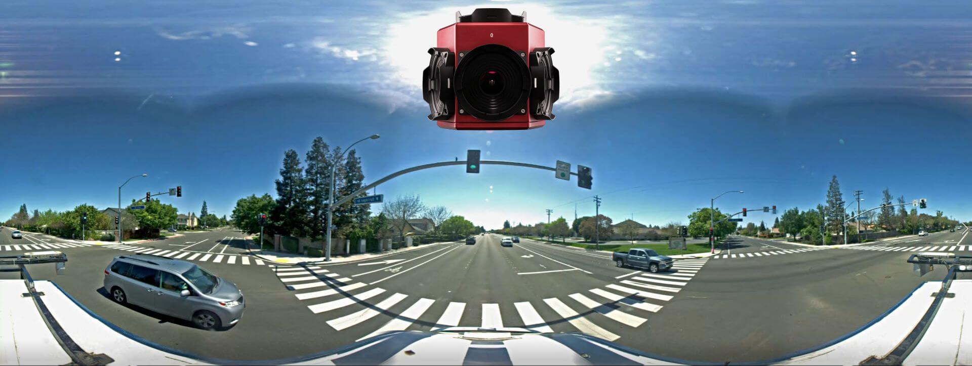
360° Camera
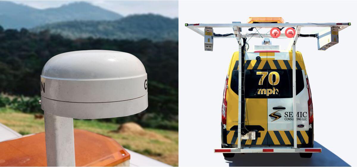
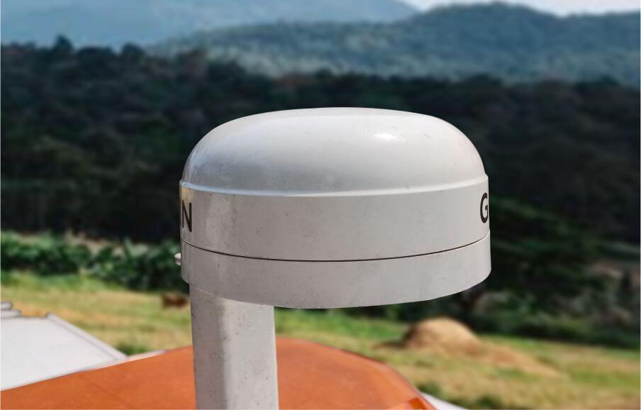
Inertial GPS
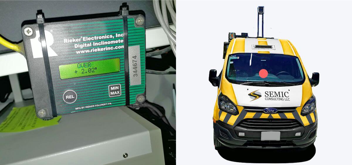
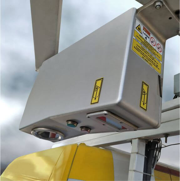
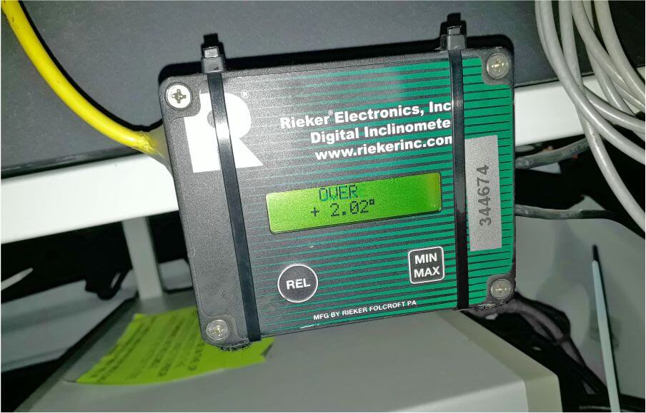
Inclinometer Camera
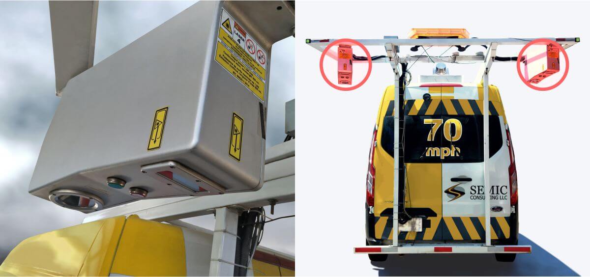
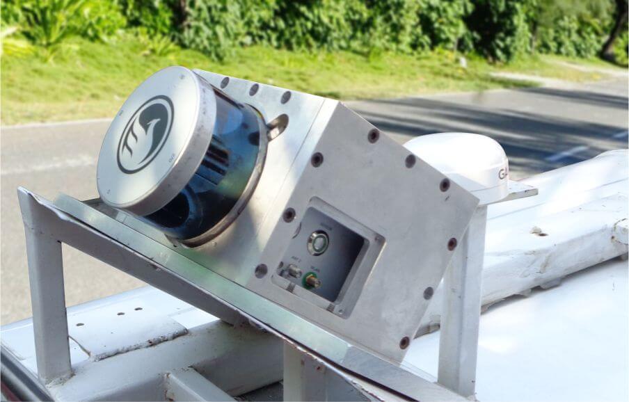
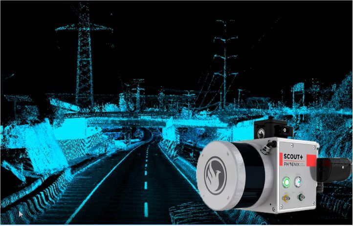
LCMS2
(Lase Crack Measurement System)
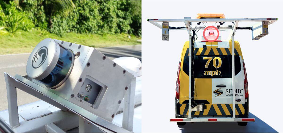
Terrestrial LiDIAR Scanner
Panoramic Camera

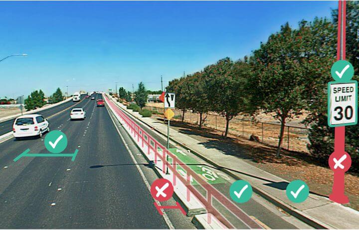
MIRE, is a recommended listing of roadway inventory and traffic elements critical to safety management. MIRE is intended as a guideline to help transportation agencies improve their roadway and traffic data inventories...


The United States Road Assessment Program (usRAP) is an innovative and proactive tool for analyzing the safety of a roadway and generating data-driven solutions for correcting hazards.

External Links: